The best day hikes Mackinac Island offers lead to limestone arches, wooded ridges, and broad Lake Huron views. Most routes cross Mackinac Island State Park, which protects more than 80 percent of the island. You can choose a short scenic walk or spend most of the day on the trail.
Best Day Hikes Mackinac Island Visitors Can Follow
These routes start near downtown or connect easily with the island’s main roads. Distances vary because the interior has many intersecting paths. Pick up an official state park map before leaving town.
Arch Rock and Sugar Loaf Loop
This roughly four-mile route connects two of the island’s best-known limestone formations. Start downtown and climb toward Arch Rock, where a natural stone arch frames Lake Huron 146 feet below.
Continue inland toward Sugar Loaf, a 75-foot limestone stack surrounded by forest. Several roads and trails connect the two landmarks, so check signs carefully at each junction. Expect stairs, steady climbing, and some uneven ground.
Fort Holmes and Skull Cave
A three-to-four-mile interior loop can include Fort Holmes, Skull Cave, and Point Lookout. Fort Holmes sits at the island’s highest point and provides open views above the tree line. The reconstructed earthwork also explains the site’s role during the War of 1812.
Skull Cave lies downhill along Garrison Road. The shallow cave served as a hiding place for fur trader Alexander Henry during Pontiac’s War. Combine both sites with nearby bridle paths for a longer walk.
Tranquil Bluff Trail
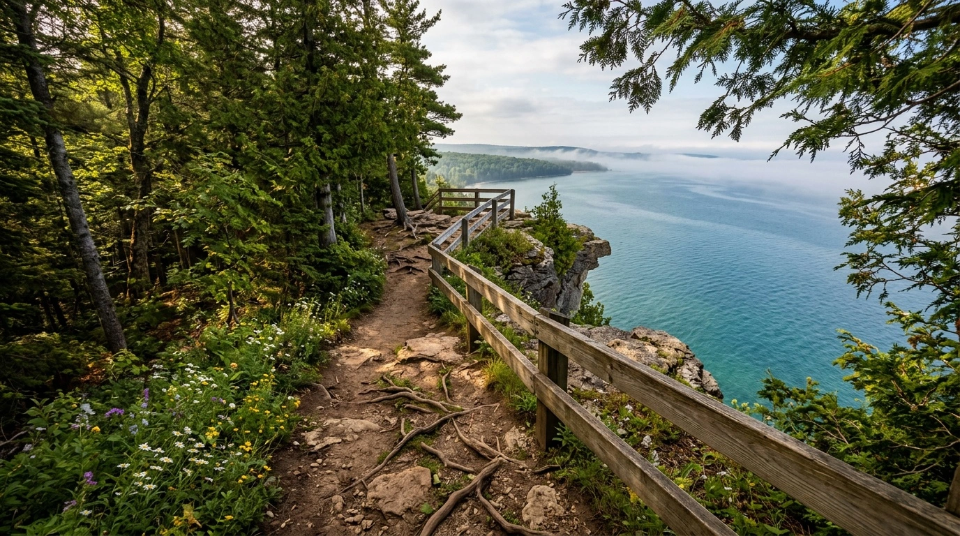
Tranquil Bluff Trail follows the island’s eastern heights between the Arch Rock area and the north side. Roots, rocks, narrow sections, and short climbs make it more demanding than the paved roads. Wear shoes with reliable grip.
A full route with connections to downtown can cover six to eight miles. For an easier return, descend toward the shoreline and follow M-185. Allow extra time after rain because the wooded trail can stay slippery.
M-185 Shoreline Loop
M-185 circles the island for 8.2 paved miles. The route passes Arch Rock, British Landing, Devil’s Kitchen, and long stretches of Lake Huron shoreline. It stays mostly level, making it suitable for walkers who prefer pavement.
Bicycles and horse-drawn vehicles also use this road. Walk on the side, listen for passing traffic, and avoid sudden moves near horses. Plan on three to four hours, plus time for stops.
How Difficult Are the Island’s Trails?
Mackinac Island has no major mountain climbs, but its terrain still requires attention. Interior routes include steep grades, exposed roots, stone steps, and loose limestone. Shoreline walks offer flatter footing.
Trail signs mark many intersections, though the dense road network can confuse first-time visitors. Carry a paper map because mobile service may vary under the trees. Check your position before continuing through a junction.
What to Bring on a Mackinac Island Hike
- Walking shoes or hiking shoes with firm tread
- Water, especially for interior routes without services
- A printed state park trail map
- Rain gear or a light wind layer
- Sun protection for shoreline roads and overlooks
- Insect repellent during warm, damp weather
Pack snacks before leaving downtown. Seasonal concessions may operate near busy locations, but hours can change. Interior trails have few places to buy food or refill a bottle.
Trail Safety and Island Etiquette
Motor vehicles face strict limits on Mackinac Island, but walkers still share roads with bicycles and horses. Stay to the side and remain alert at curves. Give working horses plenty of room.
Keep pets leashed and remove their waste. Stay on marked paths near cliffs and limestone formations. Climbing on Arch Rock or other fragile features can damage the stone and put you at risk.
Weather changes quickly around the Straits of Mackinac. Lake winds can lower the temperature even on a sunny day. Check the forecast and carry a layer for exposed sections.
Planning Your Hiking Day
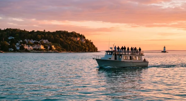
Passenger ferries serve Mackinac Island from Mackinaw City and St. Ignace. Review the return schedule before starting a long route, since departure times change by season. Leave enough time to reach the dock without rushing.
Spring through fall provides the easiest trail access and the most visitor services. Summer brings heavier bicycle and pedestrian traffic. Early morning usually offers quieter roads and cooler conditions.
These day hikes Mackinac Island visitors can complete cover shoreline, forest, and historic sites in a single outing. Choose a route that matches your available time, then use the marked trail network to adjust the distance. A map, water, and dependable footwear will handle most of the practical work.